I feel sorry for all those in eastern Europe fleeing conflict - freezing easterly for the next week, their winter has been brutal just like Putin!
Back to the models looks like the UK could be on the brink of an easterly flow and blocking? Maybe a result of a weakened zonal flow caused by the current stratospheric warming but unsure. We are on the edge of it though and this set up would have been most welcome if it occurred a month or so earlier with -10c uppers knocking on our doorstep. Typical.
I bet you this won't get downgraded either. Can't believe we wait all winter to see a chart like this and then 1st Day of spring we get eye candy charts from models.
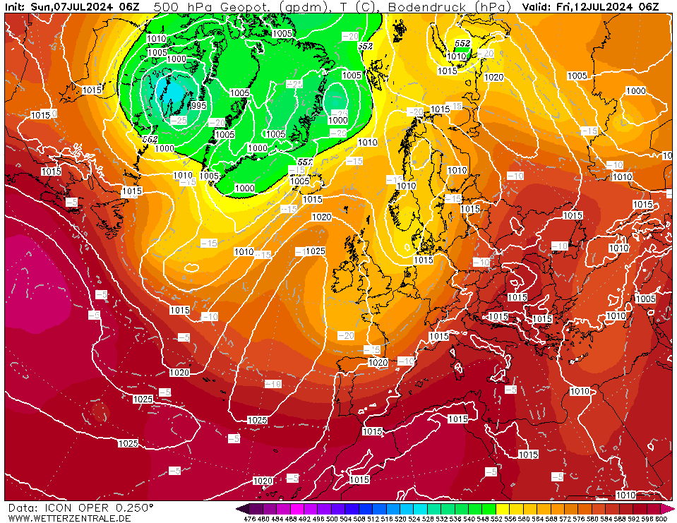
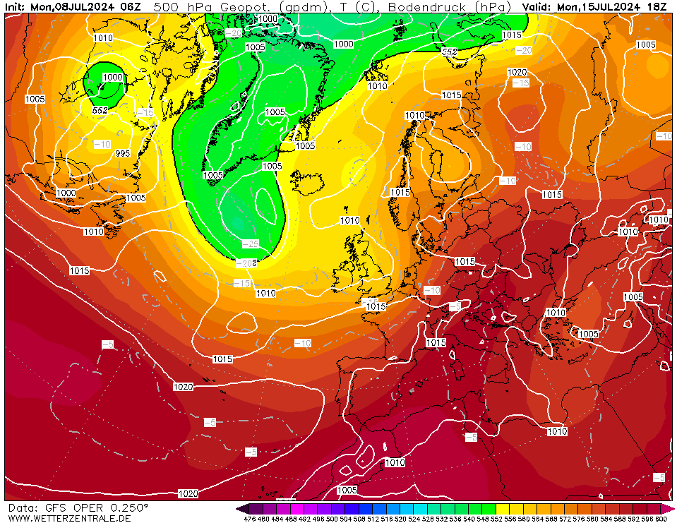
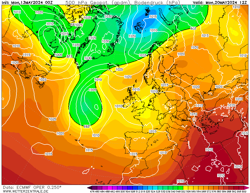
Taken +180z around 9th March shows many models except perhaps the GEM go for ridging over Scandinavia:
Icon:
GFS
ECM
Originally Posted by: tallyho_83