Remove ads from site

DEW
  • DEW
  • Advanced Member
02 March 2022 07:26:19

WX summaries; temp - the expected temp gradient from SW to NE is there and persisting, but the baseline is low - most of Europe and the Med is a couple of deg C below seasonal norm. Rain persisting in N Atlantic and E Med, western UK affected both weeks, more of a push across UK, France and Spain week 2. Dry over Germany week 1, the dry patch moying to Baltic and Caspian week 2.


Jet; not much action near UK until Fri 11th, then the main flow which has been off to the S moves N-wards to affect S England & France 


GFS op; pressure fairly high over UK to Tue 8th but plagued by shallow troughs and stalled fronts (see FAX) winds mostly S-ly: HP then moves to Scandi and until Sat 12th it's a toss-up whether Uk is more affected by cold continental E-lies or polar maritime W-lies. The Atlantic then re-asserts itself and by Wed 16th it's back to S=lies sandwiched between deep Atlantic LP (930 mb!) and HP to east.


GEFS; temps near norm, if anything on the cool side and dry-ish in S (Scotland has some rain ca Sat 5th) until Tue 11th after which present in most ens members. 


ECM; similar to GFS but brings the Atlantic back in by Thu 10th after a more defined burst of E-lies


War does not determine who is right, only who is left - Bertrand Russell

Chichester 12m asl
squish
02 March 2022 10:59:22
squish
02 March 2022 11:00:50
https://www.wetterzentrale.de/maps/GFSOPEU06_210_2.png 

Just about cold enough
D.E.W on Dartmoor. 300m asl
Saint Snow
02 March 2022 11:17:18

I've gone for a mildish March in the CET comp, so expect cold. 


Martin
Home: St Helens (26m asl) Work: Manchester (75m asl)
A TWO addict since 14/12/01
"How can wealth persuade poverty to use its political freedom to keep wealth in power? Here lies the whole art of Conservative politics."
Aneurin Bevan
Russwirral
02 March 2022 11:36:19
Something continues to stir for next week 7th March onwards, with the slightest corrections it could turn into a very wet for some and mild for others...

At the moment its looking quite the opposite. Quite a common feature of the modern Winter/Spring is to have an Easterly develop as the continent has excess cold air to get rid of as the surface begins to warm.


Taylor1740
02 March 2022 11:39:04


It's here on TWO


https://www.theweatheroutlook.com/twoother/twocontent.aspx?type=tystat&id=907 


particularly The Tavy Cleave on the edge of Dartmoor which is 500 feet deep was completely filled with drifted snow.


Originally Posted by: DEW 


Interesting, well not expecting anything but with a battleground type scenario being modelled you never know what could happen


NW Leeds - 150m amsl
Taylor1740
02 March 2022 11:46:25

Something continues to stir for next week 7th March onwards, with the slightest corrections it could turn into a very wet for some and mild for others...

At the moment its looking quite the opposite. Quite a common feature of the modern Winter/Spring is to have an Easterly develop as the continent has excess cold air to get rid of as the surface begins to warm.

Originally Posted by: Russwirral 


Interesting theory this idea of the continent having excess cold air to get rid of in Spring therefore giving an Easterly. Not sure what that is based on though and why you think it would be a particular feature of the Modern Winter / Spring?


The polar vortex of course weakens in Spring which is what is happening now therefore increasing the chance of cold air flooding into the mid-latitudes, but again don't see how that would in any way be connected to this "Modern Winter" Idea, more just a regular feature of the changing seasons.


NW Leeds - 150m amsl
Russwirral
02 March 2022 11:59:47


Interesting theory this idea of the continent having excess cold air to get rid of in Spring therefore giving an Easterly. Not sure what that is based on though and why you think it would be a particular feature of the Modern Winter / Spring?


The polar vortex of course weakens in Spring which is what is happening now therefore increasing the chance of cold air flooding into the mid-latitudes, but again don't see how that would in any way be connected to this "Modern Winter" Idea, more just a regular feature of the changing seasons.


Originally Posted by: Taylor1740 


Im thinking its related a mechanism like the European Monsoon in some way.  Purely speculative and based on nothing more than recent years synoptics.  With warming climate, potentially this is steering some sort of large mechanism like this...


We had this I think for several modern winters with South easterlys then giving way to Southerlys and stable weather.  2021 was a good example as it then followed splendid lock down weather for several weeks.  I know because i was doing fence beers with my brother - also neighbough.  Started off with Insulated clothes and hats and gloves... ended it in shorts and t-shirts


tallyho_83
02 March 2022 15:01:31

I feel sorry for all those in eastern Europe fleeing conflict - freezing easterly for the next week, their winter has been brutal just like Putin!


Back to the models looks like the UK could be on the brink of an easterly flow and blocking? Maybe a result of a weakened zonal flow caused by the current stratospheric warming but unsure. We are on the edge of it though and this set up would have been most welcome if it occurred a month or so earlier with -10c uppers knocking on our doorstep. Typical.


I bet you this won't get downgraded either. Can't believe we wait all winter to see a chart like this and then 1st Day of spring we get eye candy charts from models.


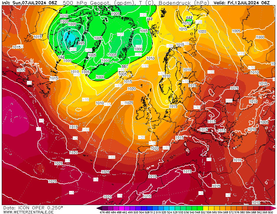
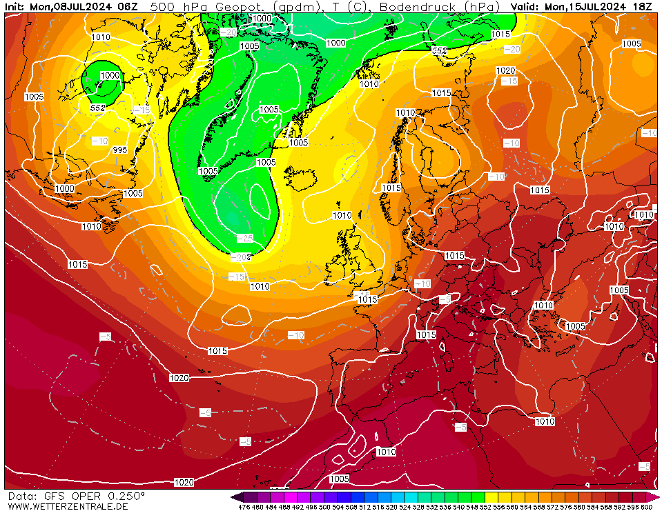
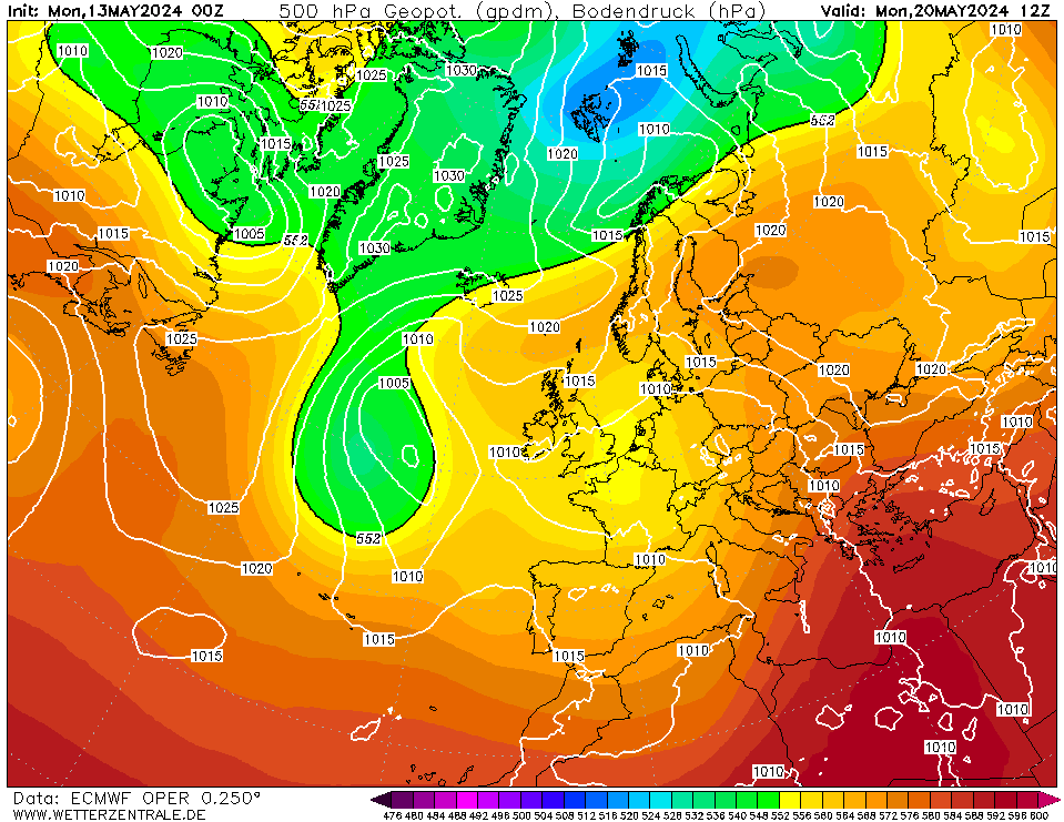
 Taken +180z around 9th March shows many models except perhaps the GEM go for ridging over Scandinavia: 


Icon:


GFS


ECM


Home Location - Kellands Lane, Okehampton, Devon (200m ASL)
---------------------------------------
Sean Moon
Magical Moon
www.magical-moon.com


Rob K
02 March 2022 18:12:38
A few teases of an easterly although the 12Z GFS op run abandons that and goes with horrid cool wet low-pressure dominated muck. This morning's ECM was interesting, let's see what the 12Z brings.
Yateley, NE Hampshire, 73m asl
"But who wants to be foretold the weather? It is bad enough when it comes, without our having the misery of knowing about it beforehand." β€” Jerome K. Jerome
DPower
02 March 2022 18:18:12


I feel sorry for all those in eastern Europe fleeing conflict - freezing easterly for the next week, their winter has been brutal just like Putin!


Back to the models looks like the UK could be on the brink of an easterly flow and blocking? Maybe a result of a weakened zonal flow caused by the current stratospheric warming but unsure. We are on the edge of it though and this set up would have been most welcome if it occurred a month or so earlier with -10c uppers knocking on our doorstep. Typical.


I bet you this won't get downgraded either. Can't believe we wait all winter to see a chart like this and then 1st Day of spring we get eye candy charts from models.


 Taken +180z around 9th March shows many models except perhaps the GEM go for ridging over Scandinavia: 


Icon:


GFS


ECM


Originally Posted by: tallyho_83 


I thought winter was the silly season but reading some of posts above I am not so sure now. Stick with the ssw analogy and you will not be far wrong. Although again the gfs, icon and ukmo have only a half hearted attempt at very cold air making any inroads towards the uk this afternoon. 


nsrobins
02 March 2022 19:15:35
The weak signal for colder weather next week is fading it has to be said.
Neil
Fareham, Hampshire 28m ASL (near estuary)
Stormchaser, Member TORRO
tallyho_83
02 March 2022 20:09:30

The weak signal for colder weather next week is fading it has to be said.

Originally Posted by: nsrobins 


I saw that but hey ho it's spring although given how benign the winter has been for most of the south UK for the exception of storm Eunice of course  then it would have been nice to talk about snow or some cold for a change.


We have had the warmest February since 2002. Never would I have guessed that that this February 2022 would have been warmer than February 2019. Just incredible.


Anyway, back on topic...whilst the prospects for an easterly is fading here in the UK, it's actually strengthening in the east and SE of Europe eap the Balkans Turkey and Greece etc - just where they don't need it after such a harsh winter.


Home Location - Kellands Lane, Okehampton, Devon (200m ASL)
---------------------------------------
Sean Moon
Magical Moon
www.magical-moon.com


squish
02 March 2022 23:25:02
No one seen the 18z then ?
D.E.W on Dartmoor. 300m asl
MRayner
02 March 2022 23:44:21

No one seen the 18z then ?

Originally Posted by: squish 


i think chasing a rainbow fatigue has set in πŸ˜ƒπŸ˜ƒ, if it’s not less than 48 hours away, “ it ain’t happening “ approach πŸ™„


nice looking easterly though !!


Location Whisky πŸ₯ƒ country, Cragganmore ,Moray, 440 AMSL
idj20
02 March 2022 23:44:32

No one seen the 18z then ?

Originally Posted by: squish 


I have, but 1) model fatigue, 2) wanting warm weather to begin as soon as possible and 3) it'll be gone in the next run anyway.


Folkestone Harbour.Β 
squish
02 March 2022 23:54:36
I get all that …. But it’s still one of the best runs of the winter
D.E.W on Dartmoor. 300m asl
tallyho_83
03 March 2022 01:46:27

I get all that …. But it’s still one of the best runs of the winter

Originally Posted by: squish 


Yes - but in spring sadly! But may not come about...


I must admit I do find it ironic how we are in the first few days of meteorological spring and we see eye candy charts and a potential easterly!


I still believe this is due to the weakening of the PV following a sudden warming of the stratosphere at 10hpa. Also a weakening of the zonal flow.


Continent is quite cold right now anyway so who knows maybe this could materialise but more runs are needed!?


Home Location - Kellands Lane, Okehampton, Devon (200m ASL)
---------------------------------------
Sean Moon
Magical Moon
www.magical-moon.com


DEW
  • DEW
  • Advanced Member
03 March 2022 08:05:40

WX summary shows most of Europe below seasonal norm, currently mild SW, cold NE; indication for week 2 is for something a little milder working its way north up the Atlantic coast, and the cold patch pushed more to the SE around N Ukraine (and they could do without that). Dry over W Europe week 1, developing more widely into C Europe week 2, with Uk on the edge - not very wet and any rain mostly in the W.


Jet very weak around UK for the time of year; currently running across N Africa with occasional bursts near Iceland; the main stream works N to affect England around Sat 12th but soon breaks up into small streaks intermittently N of UK.


GFS op; a muddle of HP and shallow troughs for the UK until Mon 7th when HP establishes over NE England moving to Sweden and ushering in a week where UK is sandwiched between that and Atlantic LP. Small variations in relative position of these pressure blocks  will make big differences locally but implication is generally mild and damp in the west (no E-lies appearing nearer than the Alps). Stalemate broken Mon 14th when first LP gets to W Isles 995mb soon followed by HP N Ireland moving to N Scotland 1040mb Sat 19th with cold air moving S across the Baltic.


GEFS short cold spell Mon 7th otherwise temps close to or a little below norm; suggestion of another dip late on (ca 19th). Mostly dry (though some places affected by a stalled front at first) until Fri 11th after which rain present in most ens members heaviest in W.


ECM; more of a trough than HP at first; although the LP moves in on Mon 7th as perGFS, it doesn't stick in mid-Atlantic but towards the end of the week (i.e. Fri 11th) moves to the English Channel and begins to draw in  SE-lies including coldish air from the Alps


War does not determine who is right, only who is left - Bertrand Russell

Chichester 12m asl
Quantum
03 March 2022 09:35:44

ECMWF ensemble watch


Cold SErly/Scandi high:16


Srly with HP influence: 10


SErly nearmiss/ Scandi high:10


Atlantic SWrly: 8


Cold Erly/Scandi high: 7


Probability of cold scenario (snow to lower levels): 45%


Probability of near miss: 20%


Probability of mild scenario: 35%


2023/2024 Snow days (approx 850hpa temp):
29/11 (-6), 30/11 (-6), 02/12 (-5), 03/12 (-5), 04/12 (-3), 16/01 (-3), 18/01 (-8), 08/02 (-5)

Total: 8 days with snow/sleet falling.

2022/2023 Snow days (approx 850hpa temp):

18/12 (-1), 06/03 (-6), 08/03 (-8), 09/03 (-6), 10/03 (-8), 11/03 (-5), 14/03 (-6)

Total: 7 days with snow/sleet falling.

2021/2022 Snow days (approx 850hpa temp):

26/11 (-5), 27/11 (-7), 28/11 (-6), 02/12 (-6), 06/01 (-5), 07/01 (-6), 06/02 (-5), 19/02 (-5), 24/02 (-7), 30/03 (-7), 31/03 (-8), 01/04 (-8)
Total: 12 days with snow/sleet falling.
Quantum
03 March 2022 09:49:30

We can't rule out snow tommorow into Saturday.


Rain for 12+ hours and no wind, its a classic evap cooling situ.


I havent gone for the short term snow potential thread because no models are yet gong for it. But I've seen this before, snow should not be ruled out; I've seen it gone from 8C at 10am with heavy rain to 0C by 3pm with heavy snow before and with no change in airmass.


The key is no wind and constant rain for several hours.


That belt of white is where it would happen, this is just an example WRF chart; I'm not claiming that will be the position of any snow but really anywhere along that N-S band that lasts long enough could see it.


2023/2024 Snow days (approx 850hpa temp):
29/11 (-6), 30/11 (-6), 02/12 (-5), 03/12 (-5), 04/12 (-3), 16/01 (-3), 18/01 (-8), 08/02 (-5)

Total: 8 days with snow/sleet falling.

2022/2023 Snow days (approx 850hpa temp):

18/12 (-1), 06/03 (-6), 08/03 (-8), 09/03 (-6), 10/03 (-8), 11/03 (-5), 14/03 (-6)

Total: 7 days with snow/sleet falling.

2021/2022 Snow days (approx 850hpa temp):

26/11 (-5), 27/11 (-7), 28/11 (-6), 02/12 (-6), 06/01 (-5), 07/01 (-6), 06/02 (-5), 19/02 (-5), 24/02 (-7), 30/03 (-7), 31/03 (-8), 01/04 (-8)
Total: 12 days with snow/sleet falling.
idj20
03 March 2022 09:52:06


ECMWF ensemble watch


Cold SErly/Scandi high:16


Srly with HP influence: 10


SErly nearmiss/ Scandi high:10


Atlantic SWrly: 8


Cold Erly/Scandi high: 7


Probability of cold scenario (snow to lower levels): 45%


Probability of near miss: 20%


Probability of mild scenario: 35%


Originally Posted by: Quantum 


In other words, several days of draughty southerlies, usually the case under a "stand off" type set up. That does sound a bit rubbish - unless it produces days like today where it is actually turning out brighter than I thought, as well as feeling quite mild under a light SE breeze.


Folkestone Harbour.Β 
Quantum
03 March 2022 09:53:28


This is the ICON chart, note the dark purple over London, this is entirely down to evaporational cooling' see that the freezing level is 600m+ lower. This is not quite cold enogh for snow even so, but heavier precip for slightly longer or slightly lighter winds could do it.


2023/2024 Snow days (approx 850hpa temp):
29/11 (-6), 30/11 (-6), 02/12 (-5), 03/12 (-5), 04/12 (-3), 16/01 (-3), 18/01 (-8), 08/02 (-5)

Total: 8 days with snow/sleet falling.

2022/2023 Snow days (approx 850hpa temp):

18/12 (-1), 06/03 (-6), 08/03 (-8), 09/03 (-6), 10/03 (-8), 11/03 (-5), 14/03 (-6)

Total: 7 days with snow/sleet falling.

2021/2022 Snow days (approx 850hpa temp):

26/11 (-5), 27/11 (-7), 28/11 (-6), 02/12 (-6), 06/01 (-5), 07/01 (-6), 06/02 (-5), 19/02 (-5), 24/02 (-7), 30/03 (-7), 31/03 (-8), 01/04 (-8)
Total: 12 days with snow/sleet falling.
Quantum
03 March 2022 10:11:03


In other words, several days of draughty southerlies, usually the case under a "stand off" type set up. That does sound a bit rubbish - unless it produces days like today where it is actually turning out brighter than I thought, as well as feeling quite mild under a light SE breeze.


Originally Posted by: idj20 


Tbf the mild or cold scenarios are both seeemingly more likely than the near miss scenario. The Met think this too, and describe the distribution as bimodal.


2023/2024 Snow days (approx 850hpa temp):
29/11 (-6), 30/11 (-6), 02/12 (-5), 03/12 (-5), 04/12 (-3), 16/01 (-3), 18/01 (-8), 08/02 (-5)

Total: 8 days with snow/sleet falling.

2022/2023 Snow days (approx 850hpa temp):

18/12 (-1), 06/03 (-6), 08/03 (-8), 09/03 (-6), 10/03 (-8), 11/03 (-5), 14/03 (-6)

Total: 7 days with snow/sleet falling.

2021/2022 Snow days (approx 850hpa temp):

26/11 (-5), 27/11 (-7), 28/11 (-6), 02/12 (-6), 06/01 (-5), 07/01 (-6), 06/02 (-5), 19/02 (-5), 24/02 (-7), 30/03 (-7), 31/03 (-8), 01/04 (-8)
Total: 12 days with snow/sleet falling.
Taylor1740
03 March 2022 11:06:40


Tbf the mild or cold scenarios are both seeemingly more likely than the near miss scenario. The Met think this too, and describe the distribution as bimodal.


Originally Posted by: Quantum 


I don't think any of the output looks especially mild or warm to me. Even the runs that bring the Atlantic through show quite a Southerly Jetstream with cool unsettled weather. Then again the Scandi high options don't look that extreme to me and would probably be just a bit cooler than average rather than a proper freeze. I think average to slightly cooler than average is the most likely at the moment.


NW Leeds - 150m amsl

Remove ads from site

Ads