I think the Med benefits from being able to import short lived and extremely intense hot waves from the Sahara. Eastern Europe doesn’t have the same proximity to a really hot surface.
2 things to note about the forthcoming heatwave
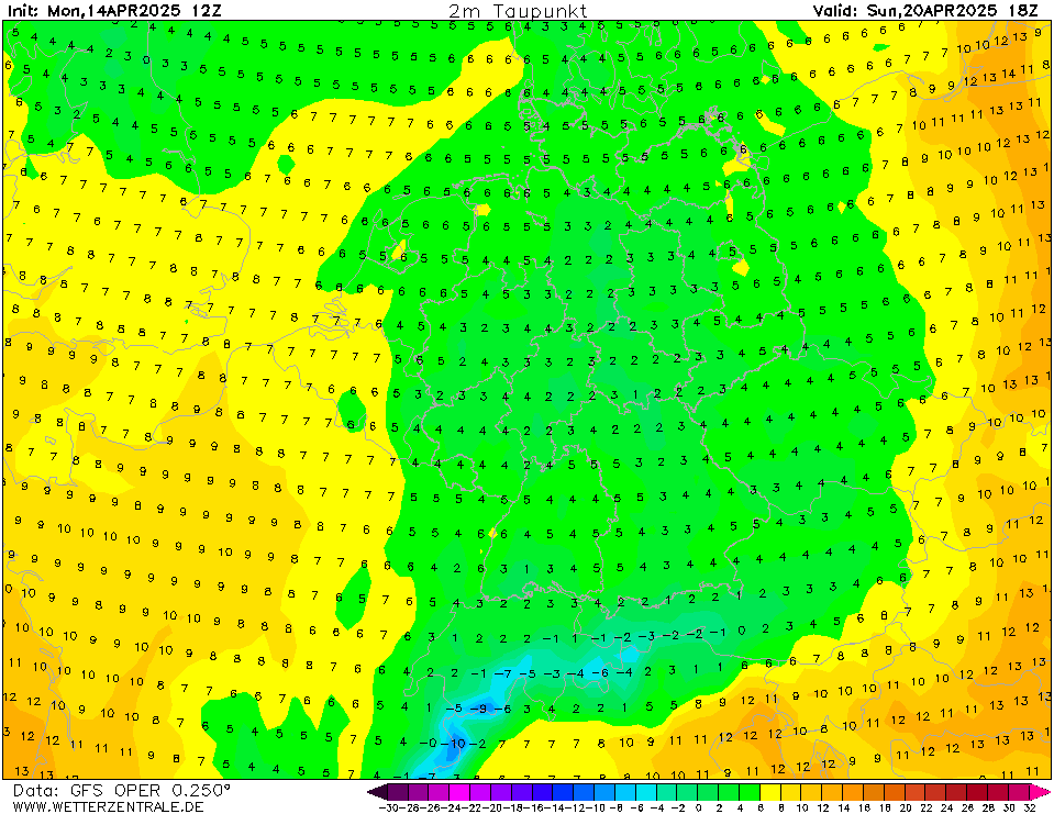
1 As mentioned on the MO thread, this is going to be a spell of dry heat. Not high humidity. Here’s a typical DP map on one of the hottest days, next Wed

During August 2003 one of the killer features in France was high humidity. Not this time. Fire hazard though. Even in maritime Britain the only moderately high DPs are in the West Country and are transient.
This also means nights in the countryside will be relatively cool, but it allows for extreme diurnal heating. One of the reasons I think the daily maxima being shown are so high. And when it’s dry the UHI effect is at its peak. Already this evening we have temps in the early 20s in London and at my Kent vineyard it’s 9.9C.
2 It’s also quite a cloudy hot spell. Lots of cover on most of the hot days. A lot is high cloud which is why the surface temps will remain high. So the first proper day of the heat, tomorrow, could be the nicest day of the hot spell. A fresh start in the low teens, 28-29C in mid afternoon, that low humidity, and almost uninterrupted sunshine in the South, ie 15 hours+
Originally Posted by: TimS