I've been working in Prince George, BC since late spring. When I arrived, the drought that led to the Fort McMurray fire in neighbouring Alberta was on its way out, and the late spring/summer ended up on the cool and unsettled side, with plenty of thunderstorms and only the occasional hot day.
Early Autumn continued the cool and unsettled trend, with frost and snow in the first two weeks of October. November was then exceptionally mild, with a cool down to more seasonal temperatures only occurring at the very end of last month. For about a fortnight now, we've had high pressure in charge and low temperatures, near -30c some nights and maxima below -20c on some days. I actually find it fairly pleasant as long as there's no wind (nostrils freeze up in no time which is fairly uncomfortable!)
The city lies in a bowl at the confluence of the Nechako (west-east) and Fraser (north-south) rivers. As a result it can get extremely cold under the right conditions, -50c was recorded at the airport in January 1950:

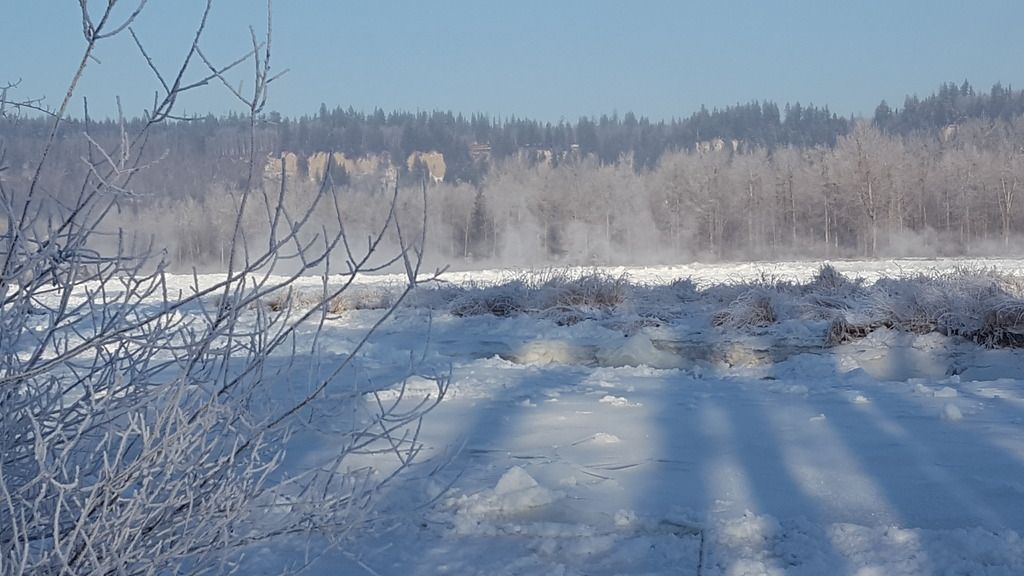
One recurring threat that the city faces as a result of its location is the formation of 'ice jams' following periods of prolonged cold. I don't know the exact reasons for it, but the ice usually builds up along the point where the Nechako empties into the Fraser, blocking the flow of the Nechako, and sometime resulting in the river bursting its banks. The last major jam and flood occurred in 2007/8, and following the intense cold of the last 2 weeks, city authorities are now warning people of the rising level of the Nechako:
http://www.princegeorgecitizen.com/news/local-news/ice-jam-reaches-emergency-status-1.4748982
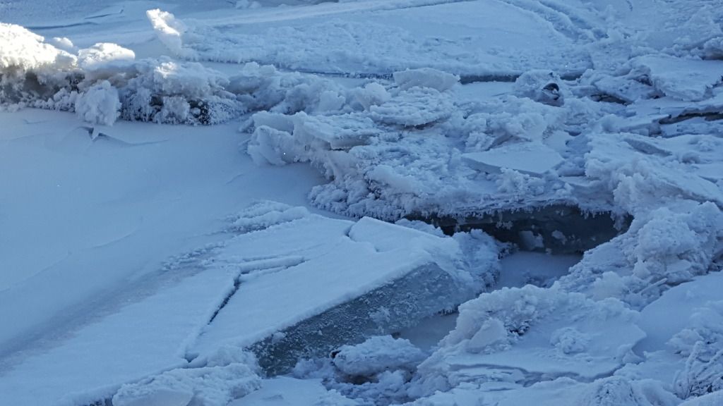
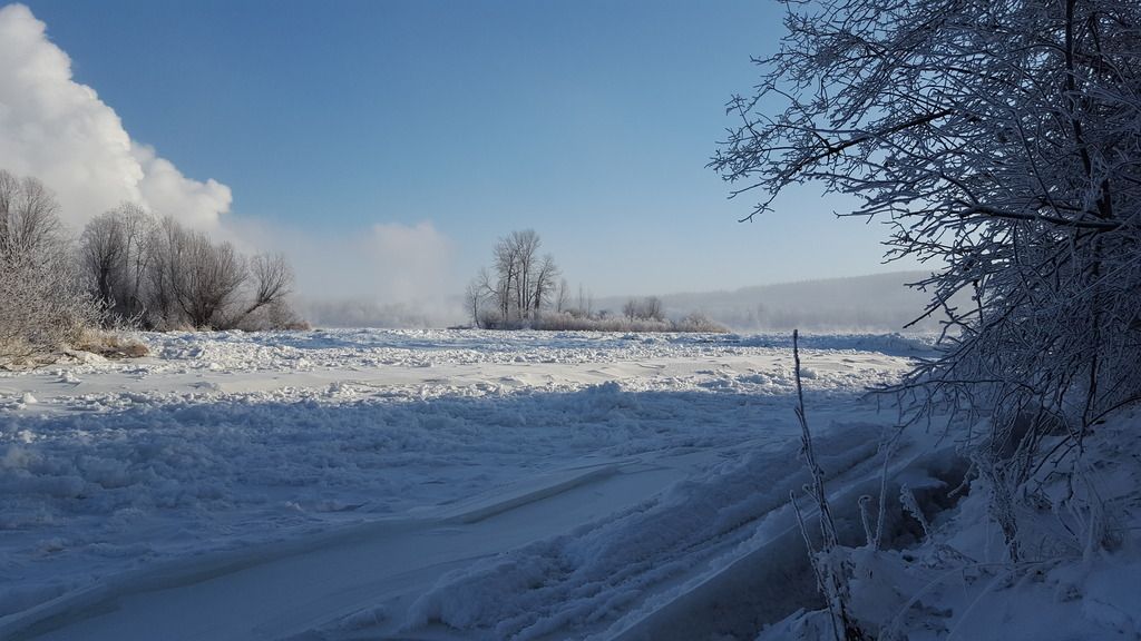
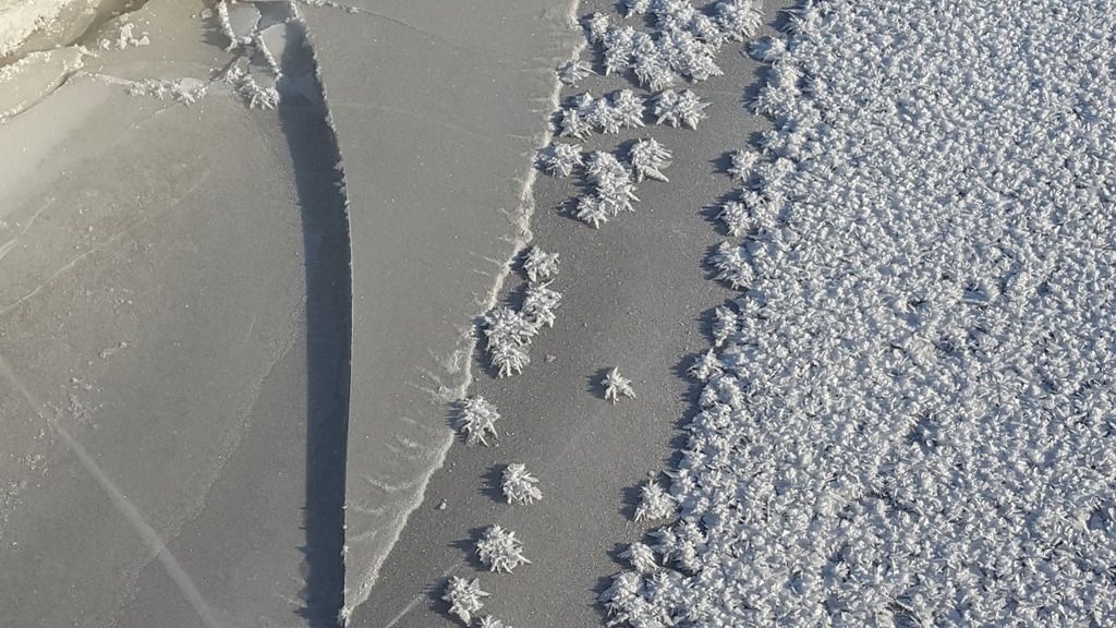
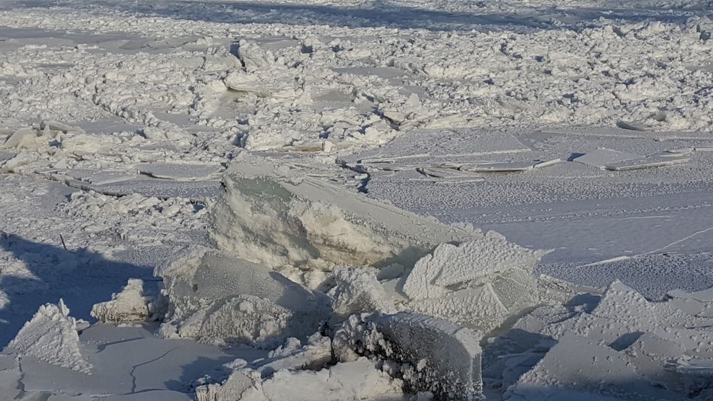
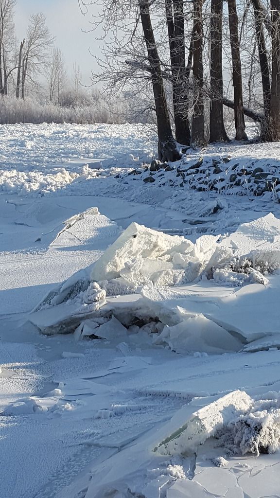
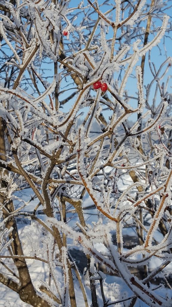
It looks like milder temperatures and snow will be on the way soon, and while the trails along the river are still accessible (they'll be closed if the jam worsens for obvious reasons), I thought I'd take a trip down to Cottonwood Park in the sunny weather (at -25c I might add!) These are just phone pics but they give a good idea of the scale of the jam I think.
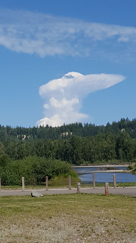
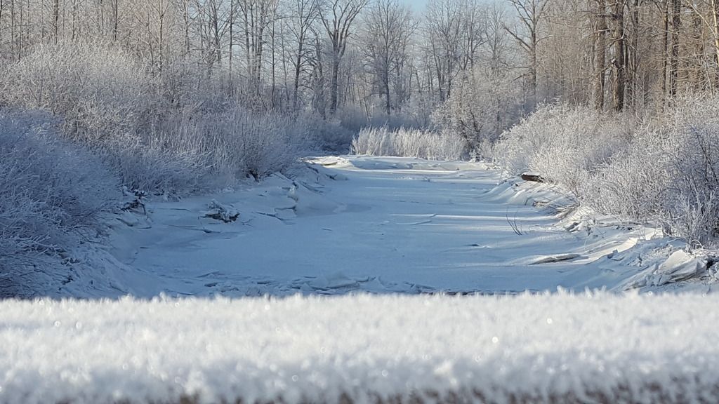
I only have one other pic of the park in summer for reference, and my focus was on an interesting cloud as opposed to the river, but to give you an idea: