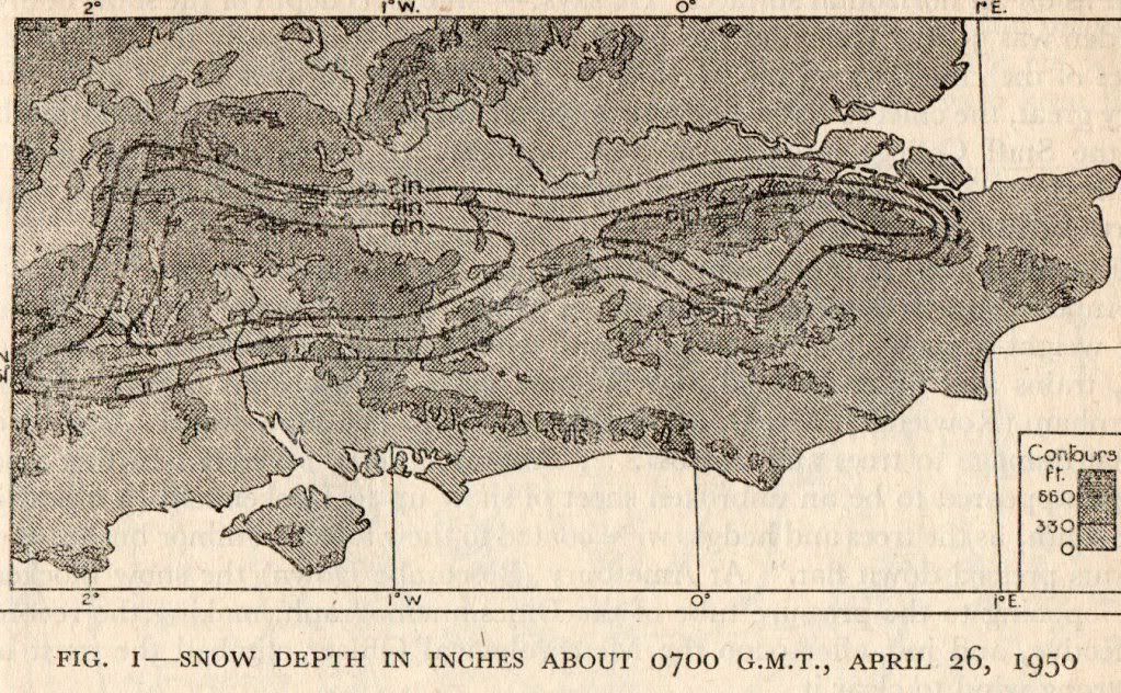
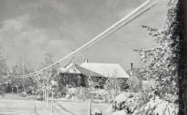
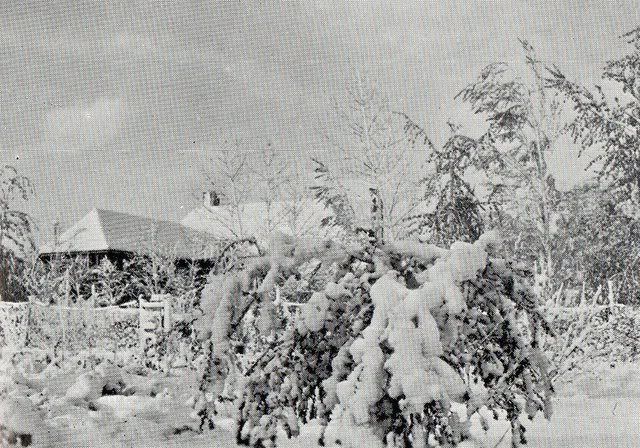
A wet snowstorm hit an area south of the Thames on the night of 25th/26th April 1950 bringing travel chaos and communication disruptions especially with regards to telegraph wires, where the wet snow clung to the wires and the weight causing them to snap. The weight of the snow also broke many branches of trees.
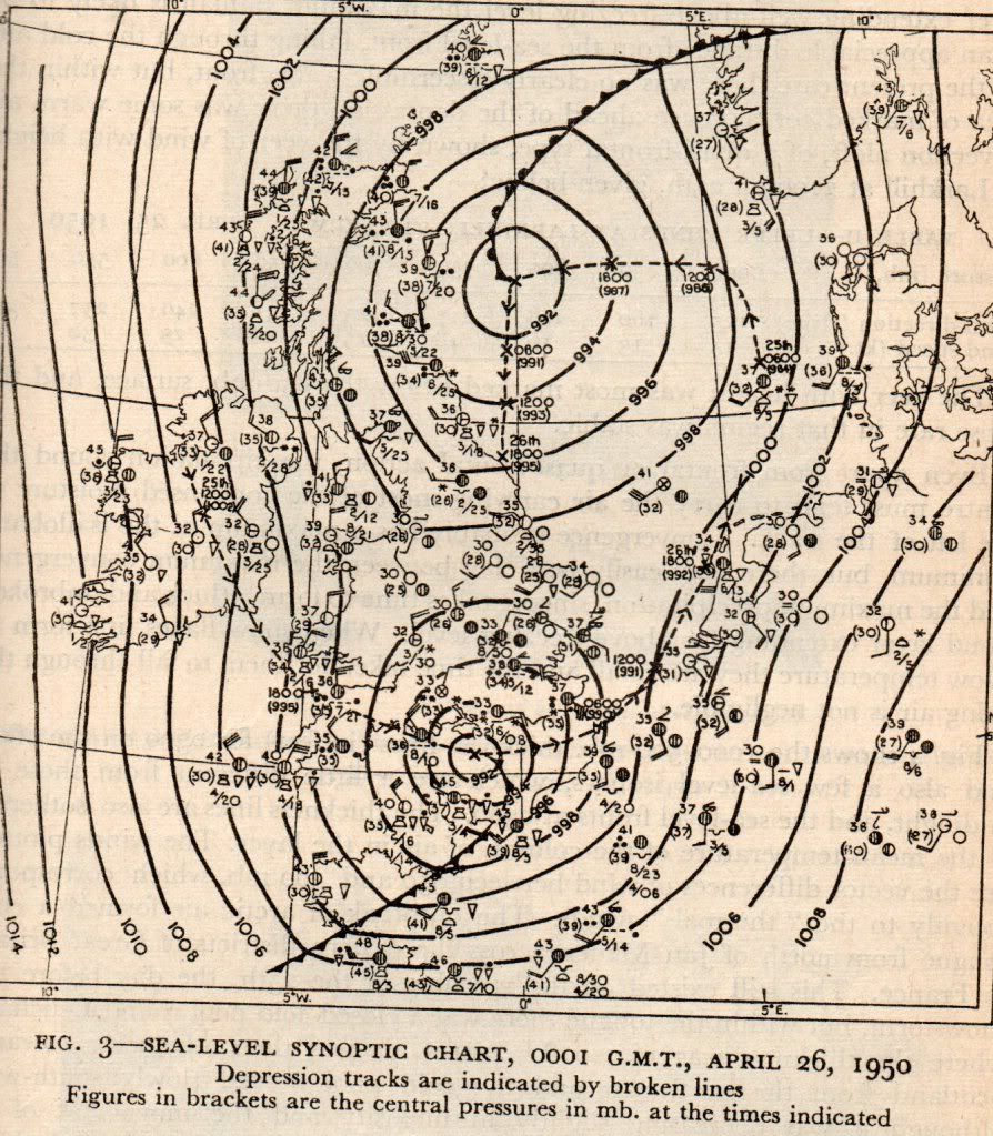
The synoptic chart
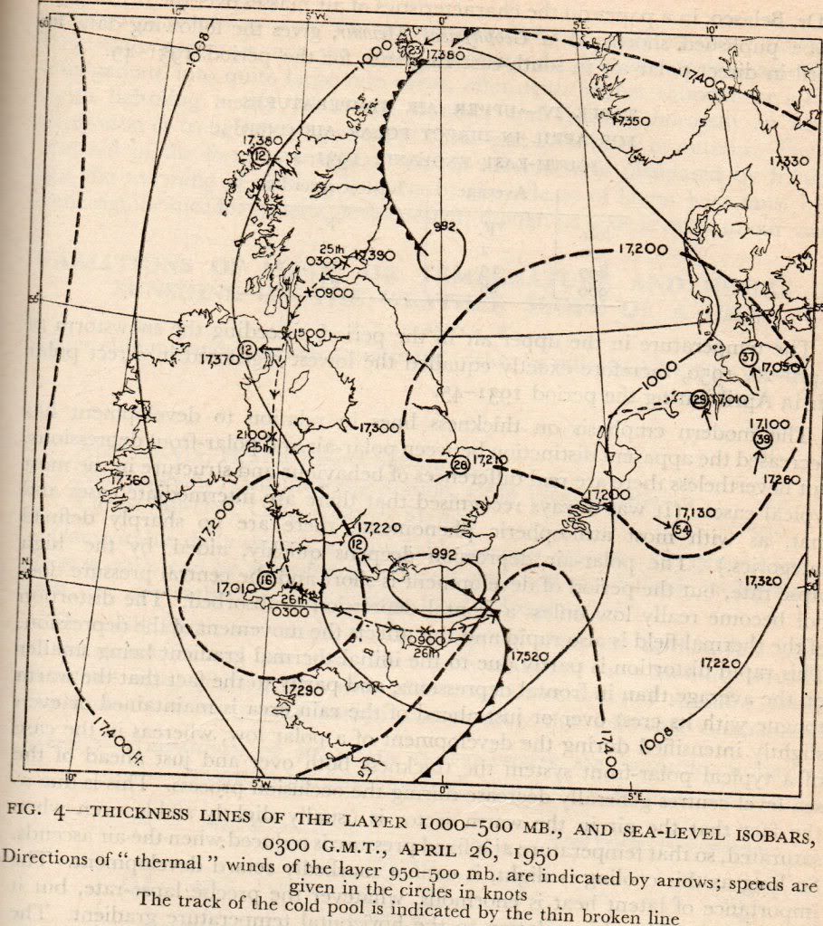
The thickness chart
26th April 1950, Tudor House, Camberley, Surrey
The snowstorm was a gusty one, here are the highest gusts recorded during the storm
Manston: 34mph
Croydon: 32mph
Calshot: 61mph
Boscombe Down: 49mph
Some low minima occurred further north on the 25th
-6.1C at Newton Rigg
-5.6C at Eskdalemuir
..and on the 26th
-3.9C at Elmdon, Wittering
The snow in the south did not last too long in the late April sunshine.
From the Times of 27th April 1950

MANCHESTER SUMMER INDEX for 2021: 238
Timelapses, old weather forecasts and natural phenomena videos can be seen on this site
http://www.youtube.com/channel/UCgrSD1BwFz2feWDTydhpEhQ/playlists