Remove ads from site

marco 79
18 January 2019 10:28:45
Looking good so far.....my only concern is that the trough hopefully won't correct further eastwards with subsequent runs....a lot of energy again forms off the eastern seaboard....
Home : Mid Leicestershire ...135m ASL
Rob K
18 January 2019 10:33:57

It's all looking a bit December 1978! A blob of -12C air over the country and heavy ppn heading into the SW.


I think Tally has designed this one! 


Yateley, NE Hampshire, 73m asl
"But who wants to be foretold the weather? It is bad enough when it comes, without our having the misery of knowing about it beforehand." — Jerome K. Jerome
nsrobins
18 January 2019 10:36:23

Looks like it could be a belter - the low not sinking so far south actually props the high pressure up a bit more and could allow the next low to slide underneath.

Originally Posted by: Rob K 


If I was asked to draw a synoptic series that could deliver a major snowfall across much of the U.K., those GFS charts from 180 would be close.


Deep cold air in place and across the near continent. Moisture and energy approaching and disrupting just off to the southwest. That has the makings of a significant event (screengrab - it won’t be there later)


Neil
Fareham, Hampshire 28m ASL (near estuary)
Stormchaser, Member TORRO
Brian Gaze
18 January 2019 10:36:46

Excellent GFS 6z for coldies. Not quite a full fat easterly but very close. 


Brian Gaze
Berkhamsted
TWO Buzz - get the latest news and views 
"I'm not socialist, I know that. I don't believe in sharing my money." - Gary Numan
Rob K
18 January 2019 10:38:18


Yateley, NE Hampshire, 73m asl
"But who wants to be foretold the weather? It is bad enough when it comes, without our having the misery of knowing about it beforehand." — Jerome K. Jerome
Downpour
18 January 2019 10:41:35


Excellent GFS 6z for coldies. Not quite a full fat easterly but very close. 


Originally Posted by: Brian Gaze 


Undoubtably the best runs of the winter so far Brian.


Chingford
London E4
147ft
Rob K
18 January 2019 10:42:17
Being picky it now needs some sort of reload of cold air to end the run and make it perfect.
Yateley, NE Hampshire, 73m asl
"But who wants to be foretold the weather? It is bad enough when it comes, without our having the misery of knowing about it beforehand." — Jerome K. Jerome
tallyho_83
18 January 2019 10:42:57

Again - Leaving aside FI which keeps flip flopping!


NextwTuesday 22nd 


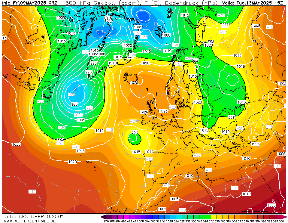
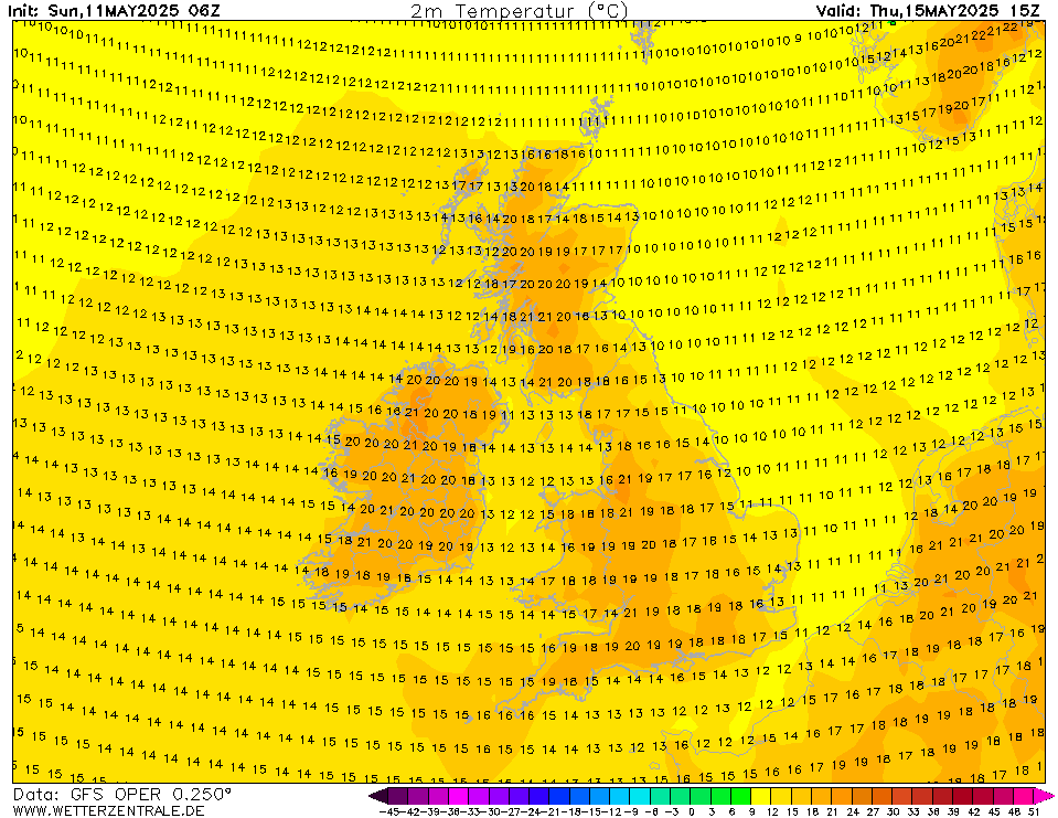
This is a re 0ccuring theme now - the front slows down and stalls from Midday Tuesday into Wednesday:


Seems like we could see hours of wet snow, sleet or rain to snow or even heavy snow and accumulating snow - Temps of 0 to +3c widely by day and night - Some places could see a lot of rain or a lot of snow or slush etc - depending on how heavy the precipitation is, there could be time for convective cooling in many southern area's if the cold air digs in behind the front!!



Home Location - Kellands Lane, Okehampton, Devon (200m ASL)
---------------------------------------
Sean Moon
Magical Moon
www.magical-moon.com


Jeff
  • Jeff
  • Advanced Member
18 January 2019 10:46:32

http://www.wetterzentrale.de/maps/GFSOPEU06_192_1.png

Slider and snow incoming on the op

Originally Posted by: ballamar 


Whilst this is a very good Op run, we need to watch something that might go unnoticed. At day 8, that low over the Baltics has been shown deeper and more east of us on each of the last two GFS Op runs. Any more movement of this further east/north could leave us in a cold col, around 26th, rather than in a NE flow. The danger is the really cold air advects south not west to us. I’ve seen this before - really cold heavy air has the knack of behaving unpredictably.  Just saying. laughing


Jeff


On the East/West Sussex Border
70m ASL
David M Porter
18 January 2019 10:48:06


Originally Posted by: Rob K 


Brexit might not be the only issue the government have to deal with were this run to come off!


Only my opinion, but the GFS 06Z almost looks reminiscent of what happened at the end of last winter.


Lenzie, Glasgow

"Let us not take ourselves too seriously. None of us has a monopoly on wisdom, and we must always be ready to listen and respect other points of view."- Queen Elizabeth II 1926-2022
Stolen Snowman
18 January 2019 10:48:56


Excellent GFS 6z for coldies. Not quite a full fat easterly but very close. 


Originally Posted by: Brian Gaze 


Incredible that we now potentially have Easterlies in the frame for a second consecutive year after a prolonged absence.


Are we now in what you could call the ‘postmodern’ winter?  


Statistics prove that the period just after records began witnessed some of the most extreme weather ever recorded. Records were being broken on a frequency that has not been repeated since.
Posting live from a pub somewhere in Burton upon Trent
Heavy Weather 2013
18 January 2019 10:50:56

Being picky it now needs some sort of reload of cold air to end the run and make it perfect.

Originally Posted by: Rob K 


It happens towards the end of the run. What is starting to become clear is that the pundits regarding February could be bang on the money.


Cant wait to see the Ensembles. I am keen to get rid of some of those irritating mild members


Mark
Beckton, E London
Less than 500m from the end of London City Airport runway.
Phil G
18 January 2019 10:53:28


Whilst this is a very good Op run, we need to watch something that might go unnoticed. At day 8, that low over the Baltics has been shown deeper and more east of us on each of the last two GFS Op runs. Any more movement of this further east/north could leave us in a cold col, around 26th, rather than in a NE flow. The danger is the really cold air advects south not west to us. I’ve seen this before - really cold heavy air has the knack of behaving unpredictably.  Just saying. laughing


Jeff


Originally Posted by: Jeff 


Exactly Jeff. Those winds are more from a northerly as the SE low is further away on this run. Quite a low forming at 240 South Spain which might come into play later.


Edit: It does but gets interesting again later on.

LA2B MeridFlowEuro09
18 January 2019 10:57:40

I agree Michael, Doc.


We are being shown very cold NW then NNE winds if we look at GFS 06z, And it looks like that NE USA NW Atlantic Low is expected to track a bit south of NW of Atlantic, with later Jet energy plunging SSE from it- it helps give handshake of energy for NNE flow by Thursday to Sunday based on GFS 06z, and then UK could see SW West Europe see SE tracking PV Low with NW France UK stay on cold side of Jet that allows further chance of heavy snow in South SE UK etc, by 27th-30th January 2019.  


Further Cold Low Pressure for NE USA by Thursday to Saturday is possible with high pressure building back over Greenland in fact it looks a potent block even by Wednesday to Friday next week.


Climate is warming up, Scotland and N Ireland and North England still often gets some Winter frost, ice and snow, November to March, but the SE and South UK including S Central England and Wales, together with the West and North through the year, they sometimes get more rain than London and S SE England, where some longer dry fine spells without much heavy rain is seen every year.

The North Atlantic Sea often gets some much Colder Wintry conditions from November to March Months, and Mild SW and South winds tend to be more frequent over the East and SE of North Atlantic Sea, as the Azores High tends to stay in charge. 

With this warmth and heat, the Central and South UK has become mostly free of snow and frost.
Rob K
18 January 2019 10:59:45
ARPEGE 0Z looks like a decent improvement on the 12Z, too, with the trough digging south (finally).

http://modeles7.meteociel.fr/modeles/arpege/run/2019011800/arpegeeur-0-102.png?0 

Yateley, NE Hampshire, 73m asl
"But who wants to be foretold the weather? It is bad enough when it comes, without our having the misery of knowing about it beforehand." — Jerome K. Jerome
warrenb
18 January 2019 11:00:43
Maybe the Chinese model has been correct all along
tallyho_83
18 January 2019 11:06:28

Upgrade in terms of snow potential for the south: 


Very slim and unlikely scenario but it's a possibility of course?


Home Location - Kellands Lane, Okehampton, Devon (200m ASL)
---------------------------------------
Sean Moon
Magical Moon
www.magical-moon.com


stophe
18 January 2019 11:09:02

Hi all.London ecm ensembles looking cold then some spread the further you go out.Have a good day.


Latest 15 days ensemble forecast temperature for London

tallyho_83
18 January 2019 11:13:36

Very similar charts and set up to 6th Feb 1947: - Just a stronger Greenland block of HP back then, that's all otherwise an identical chart with LP over Baltics, HP north and LP taking a southerly track undercutting the high etc:


27th Jan 2019:


Home Location - Kellands Lane, Okehampton, Devon (200m ASL)
---------------------------------------
Sean Moon
Magical Moon
www.magical-moon.com


Rob K
18 January 2019 11:17:09

Looks like the GEFS are trending colder.


192hr mean 850s look good:


And the mild stragglers have almost vanished in the first half:


Yateley, NE Hampshire, 73m asl
"But who wants to be foretold the weather? It is bad enough when it comes, without our having the misery of knowing about it beforehand." — Jerome K. Jerome
tallyho_83
18 January 2019 11:21:13

AGAIN MORE SNOW POTENTIAL for the south:


Home Location - Kellands Lane, Okehampton, Devon (200m ASL)
---------------------------------------
Sean Moon
Magical Moon
www.magical-moon.com


tallyho_83
18 January 2019 11:32:41


Again - Leaving aside FI which keeps flip flopping!


NextwTuesday 22nd 


This is a re 0ccuring theme now - the front slows down and stalls from Midday Tuesday into Wednesday:


Seems like we could see hours of wet snow, sleet or rain to snow or even heavy snow and accumulating snow - Temps of 0 to +3c widely by day and night - Some places could see a lot of rain or a lot of snow or slush etc - depending on how heavy the precipitation is, there could be time for convective cooling in many southern area's if the cold air digs in behind the front!!


Originally Posted by: tallyho_83 


Again with the 06z Para:


Much snow potential for much of the country Tuesday 22nd night into Wednesday 23rd as the frontal system stalls and sinks southwards allowing convective cooling:


Home Location - Kellands Lane, Okehampton, Devon (200m ASL)
---------------------------------------
Sean Moon
Magical Moon
www.magical-moon.com


Brian Gaze
18 January 2019 11:38:33

GEFS 06z look cold or very cold.


https://www.theweatheroutlook.com/twodata/gefs.aspx?run=na&lg=850&lglocation=london&charttag=PS%20500hPa%20(GPDM)


Brian Gaze
Berkhamsted
TWO Buzz - get the latest news and views 
"I'm not socialist, I know that. I don't believe in sharing my money." - Gary Numan
tallyho_83
18 January 2019 11:43:44

Another way of looking at things! The Average/mean of all 20 ensemble runs at 300z from the 06z: - Looking from the N, Pole down.


LOW pressure over the English channel dragging up winds from the very cold near continent - Blocking to our north esp over Greenland - This could denote heavy snow for many?


Home Location - Kellands Lane, Okehampton, Devon (200m ASL)
---------------------------------------
Sean Moon
Magical Moon
www.magical-moon.com


Rob K
18 January 2019 11:47:33


Mean now down to -7C in the midterm. Best ensemble of the winter.


I haven't gone through the individual runs but this mean pressure pattern at 300hrs looks pretty promising! (I see Tally beat me to it on that one)


And looking at the tabulated runs, it's noticeable that even the few runs that go mild in the medium term then go cold or very cold (-10C) later on. http://www.meteociel.fr/modeles/gefs_table.php?ext=1&x=&lat=51.5085&lon=-0.12574&ville=Londres


Yateley, NE Hampshire, 73m asl
"But who wants to be foretold the weather? It is bad enough when it comes, without our having the misery of knowing about it beforehand." — Jerome K. Jerome

Remove ads from site

Ads